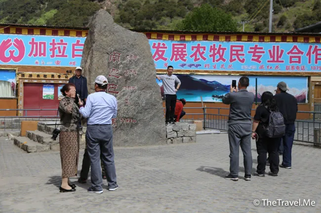
Yarlung Zangbo Grand Canyon (Chinese: 雅魯藏布大峽谷) was formed by the erosion of the Yarlung Zangbo River (Tibetan: ཡར་ཀླུངས་གཙང་པོ་). In Tibetan, "Yarlung Zangbo" means "snow water flowing from high mountains".
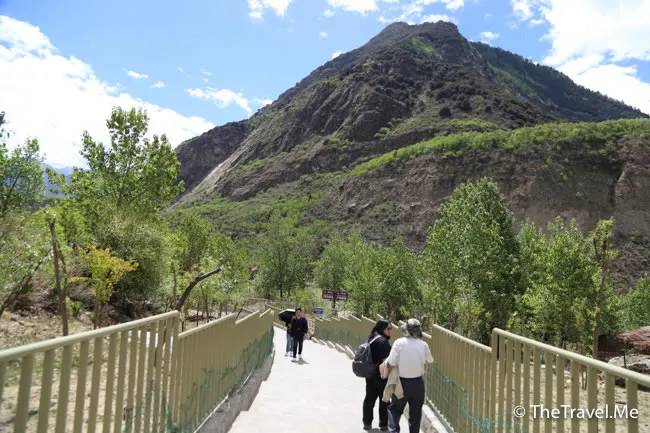
Yarlung Zangbo River has a total length of about 2,000 kilometers and a drainage area of 240,000 square kilometers. It is regarded by Tibetans as the "cradle" and "mother river".
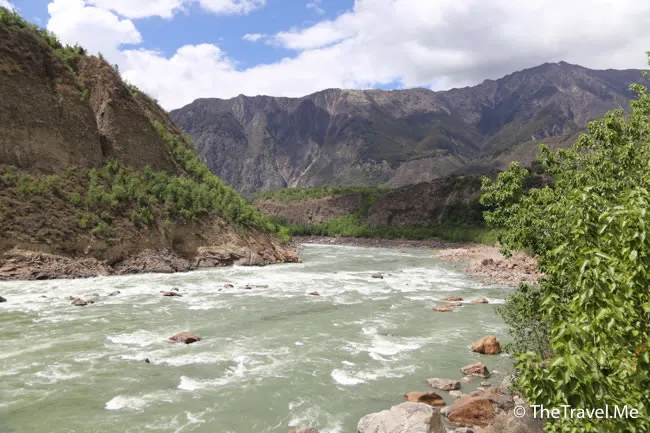
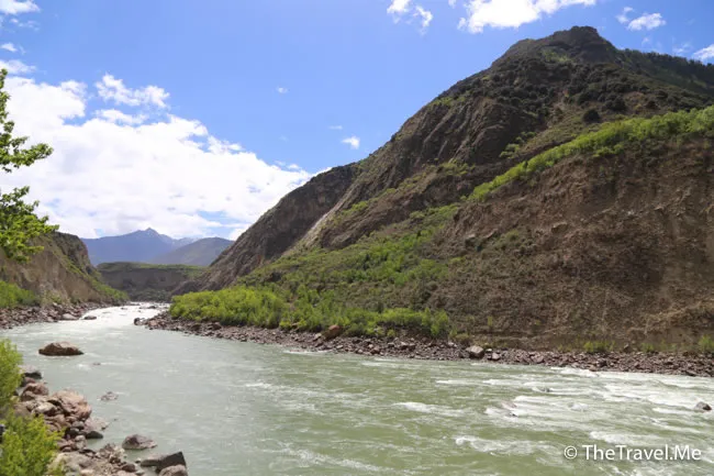
With an average altitude of over 4,000 meters, Yarlung Zangbo River is the largest river in Tibet and the highest river in the world.
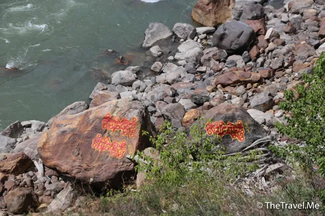
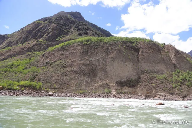
Yarlung Zangbo River flows eastward for about 1,700 kilometers since its source, and is blocked by the Himalayas to the northeast, then turns southwest around Namjagbarwa, and finally flows into Assam (Assamese: অসম) of India.
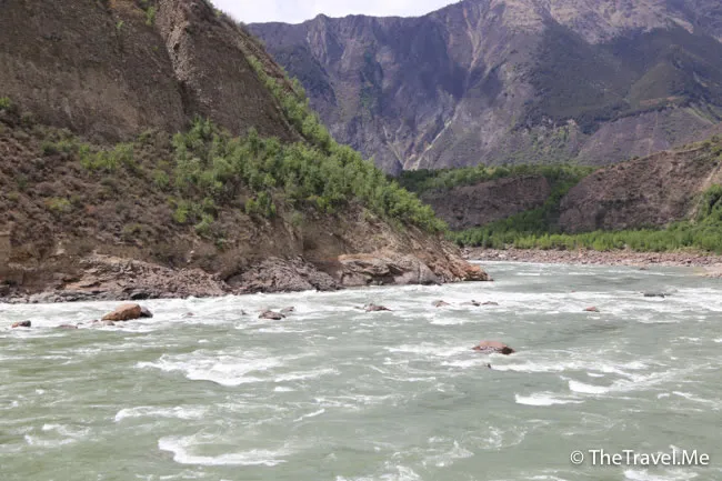
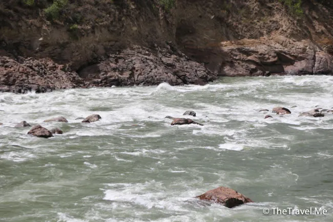
The Chinese government set up a nature reserve in the Yarlung Zangbo Grand Canyon and plans to build dams and power plants, which aroused doubts in countries such as India and Bangladesh.
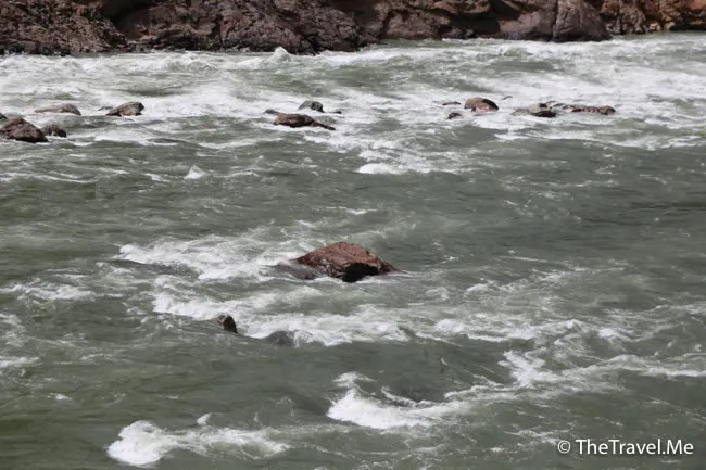
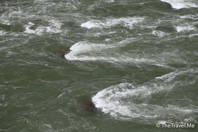
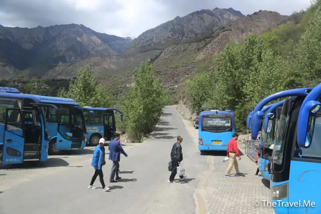
Yarlung Zangbo Grand Canyon is close to the Sino-Indian border, so there are strict restrictions on tourist travel. The last stop of the itinerary is Zhibai Village (直白村), a small village isolated from the rest of the world.
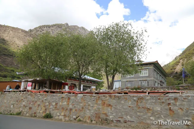
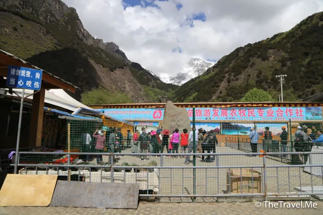
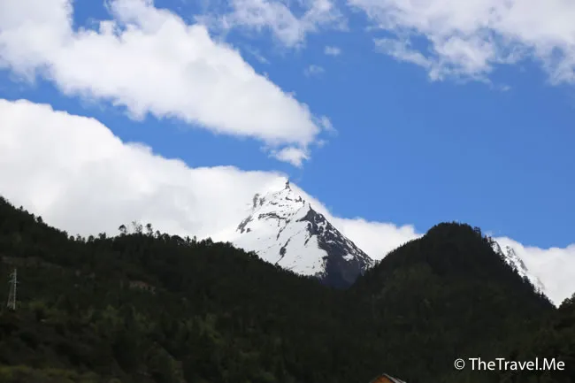
Zhibai Village is one of the ideal places to watch Nanga Bawa Peak (Tibetan: གནམས་ལྕགས་འབར་བ།). Unfortunately, during Choumeizai’s visit, the mountain was hidden in the clouds and never showed its peak.
